
Brooklyn · Neighborhood guide
South Slope
South Slope, also called South Park Slope, is a residential part of Brooklyn where row houses and commercial avenues meet. The city’s 2005 planning report describes a broader South Park Slope than the small area assigned to this guide’s map.

Jim.henderson · CC BY-SA 4.0 · Resized.

About South Slope
The city described South Park Slope as a neighborhood built around the turn of the twentieth century for workers connected to Green-Wood Cemetery and nearby waterfront and canal industries. Its 2005 rezoning sought to address building scale across a larger area; the study boundary should not be read as this guide’s neighborhood boundary.
Residents and merchants also organized around neighborhood development. Revitalization of the Southern Area of the Slope, known as ROSAS, began in 1978 and merged with the Park Slope Civic Council in 2001. The library’s archival account places that work in the broader South Slope, rather than at one particular address.
Places to explore
Fifth Avenue at 16th Street
Fifth Avenue and 16th StreetA City Planning report described commercial buildings along Fifth Avenue and nearby three- and four-story housing on 16th Street. Compare the avenue and side street from the public sidewalk; the report describes conditions in 2007.
Seventh Avenue and Prospect Avenue
At the neighborhood’s southern edgeThe 2005 South Park Slope rezoning documents include blocks around Seventh and Prospect avenues. Use this junction to orient a short street walk, keeping in mind that the rezoning area extends well beyond the small mapped child.
Planning a visit
The F and G serve 15 St–Prospect Park, an arrival point near the eastern side of the broader South Slope. Check MTA notices and the map before choosing a route; station entrances and surrounding parkland are not all inside this guide’s outline.
The selection is an exterior street walk. Homes are private, and the city’s zoning history covers more ground than the map used here. Prospect Park and Green-Wood are separate mapped areas if you continue beyond the neighborhood.
Photos
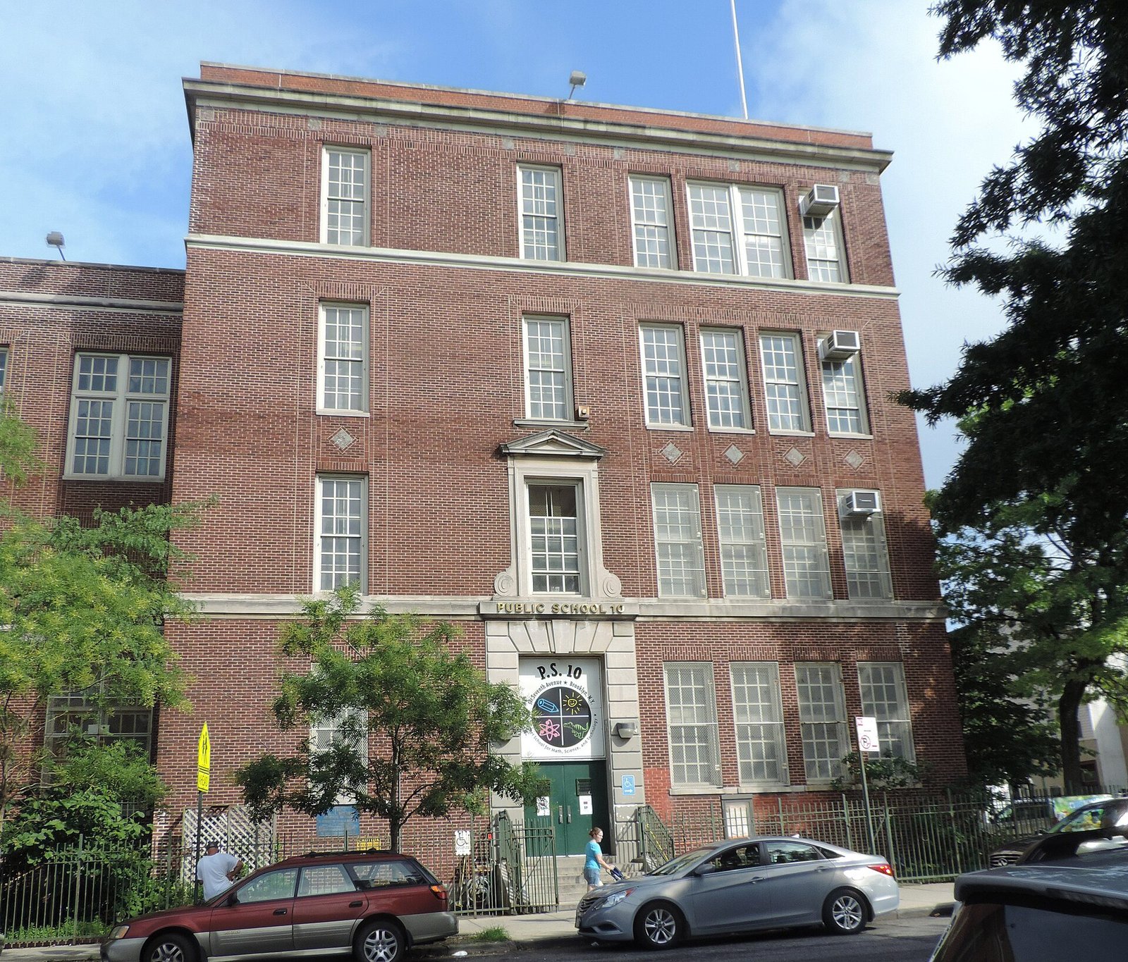
Jim.henderson · CC BY 3.0 · Resized.

Sources and visitor information
- 575 Fifth Avenue applicationNYC City Planning Commission
- F line map and stationsMetropolitan Transportation Authority
- G line map and stationsMetropolitan Transportation Authority
- Introducing the Park Slope Civic Council recordsBrooklyn Public Library / Center for Brooklyn History
- South Park Slope rezoning, 2005NYC City Planning Commission