
Manhattan · NYC landmark
Street Plan of New Amsterdam and Colonial New York
Including all or part of Beaver, Bridge, Broad, Hanover, Marketfield, New, Pearl, South William, Stone, Wall, Whitehall, and William Street; Exchange Place; Hanover Square; Mill Lane; and Broadway · Manhattan, New York City
The old downtown street pattern preserves traces of the Dutch and English colonial town.
Save and Boost open this place in the interactive map. An account is needed to save; Boost opens its options before payment.

NYFE Summary
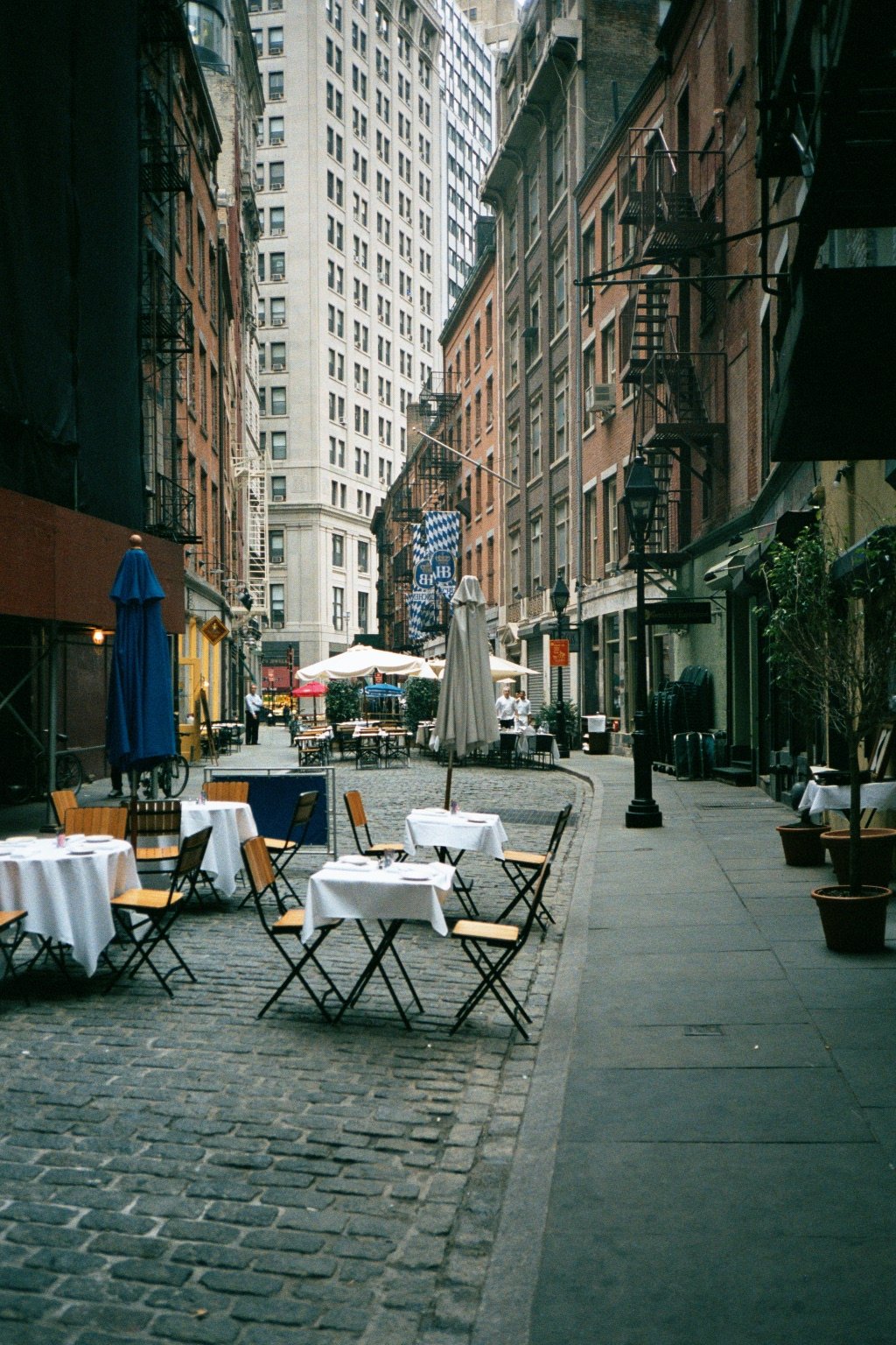
Several downtown streets still follow the rough pattern shown on the Castello Plan of 1660. The network also includes streets added or extended under English rule. Its bends and short blocks preserve a town layout that predates Manhattan’s numbered grid.
Broad Street follows the route of a Dutch canal that was filled in 1676. Elsewhere, narrow lanes and irregular junctions reflect the early settlement and its changing shoreline. The landmark protects the street pattern, rather than claiming that today’s buildings or paving are all colonial.
NYFE summary from the official history and visitor sources linked below.
Plan a visit
Check the operator’s current opening, admission and access information before travelling. Historic status does not guarantee public access to every interior.
Official visitor information ↗