
Brooklyn · Neighborhood guide
Bergen Beach
Bergen Beach and Georgetown occupy residential blocks beside the Paerdegat and Little Mill basins. A playground on East 71st Street offers a public stop, while the street pattern and neighborhood names recall land that was once an island.

Jim.henderson · CC BY-SA 4.0 · Resized.

About Bergen Beach
Bergen Island was largely sea-level meadow. A bulkhead built along its shore in the late 1890s was later connected to the uplands, forming an embankment subsequently used for the Belt Parkway.
Georgetown takes its name from a planned 1960s development that was never built. The community board describes later construction of one- and two-family houses and low-rise condominiums from the 1960s into the 1980s.
Places to explore
Bergen Beach Playground
East 71st Street between Avenue N and Avenue TThis neighborhood playground is a public recreation stop. NYC Parks lists it as a small park with play and athletic facilities; follow posted hours and any work notices.
Georgetown residential streets
East of Ralph Avenue, near Avenue NGeorgetown is part of the area covered by this guide. The community board traces its name to an unrealized development and describes the later homes that replaced that proposal. Explore from public sidewalks and respect residential entrances.
Paerdegat Basin edge
Bergen Avenue along the basinThe basin borders the neighborhood to the northeast. DEP identifies parkland along much of its edge and Joseph Thomas McGuire Park at the southwestern side. Access varies: stay on signed public routes and do not assume every waterfront parcel is open.
Planning a visit
Choose a particular playground entrance or street destination before checking current MTA routes and service. The playground, residential streets and basin edge are separate stops.
The split includes Georgetown and follows the approximate Little Mill Basin channel toward the southeast. Mill Island is assigned to Mill Basin. The boundary is an editorial map, not a definitive neighborhood limit.
Photos
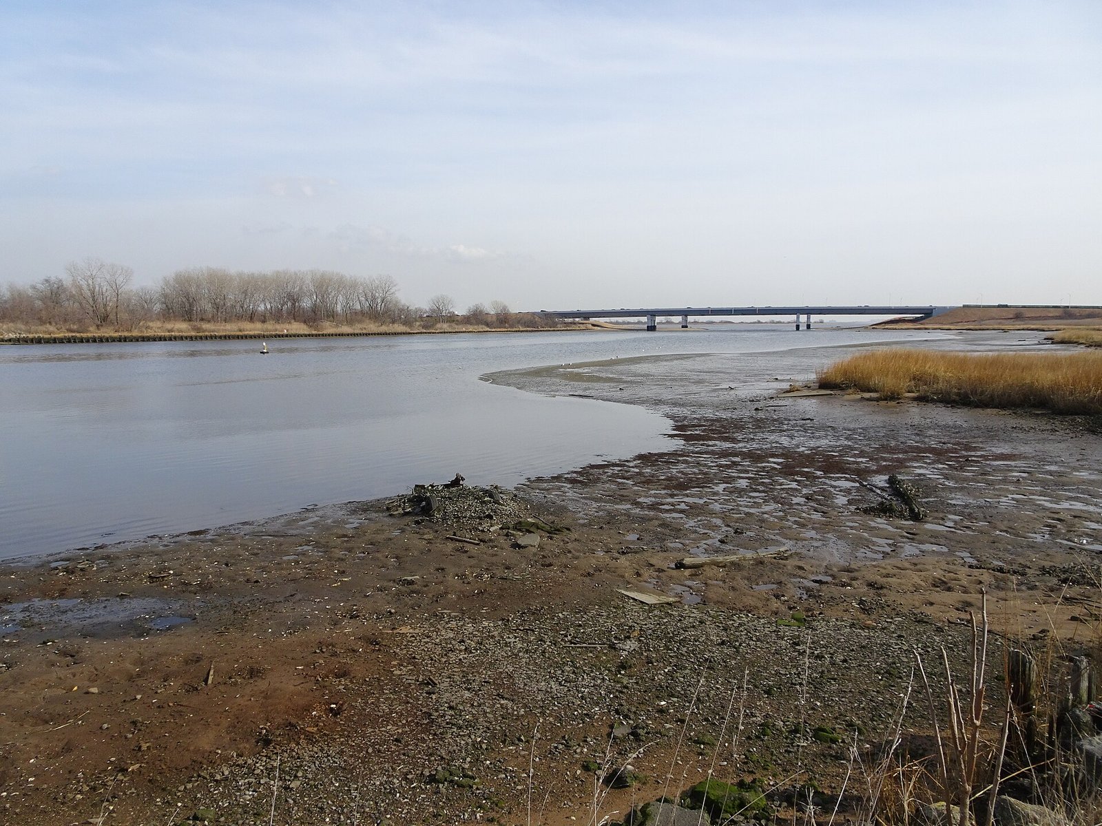
Jim.henderson · CC BY-SA 4.0 · Resized.

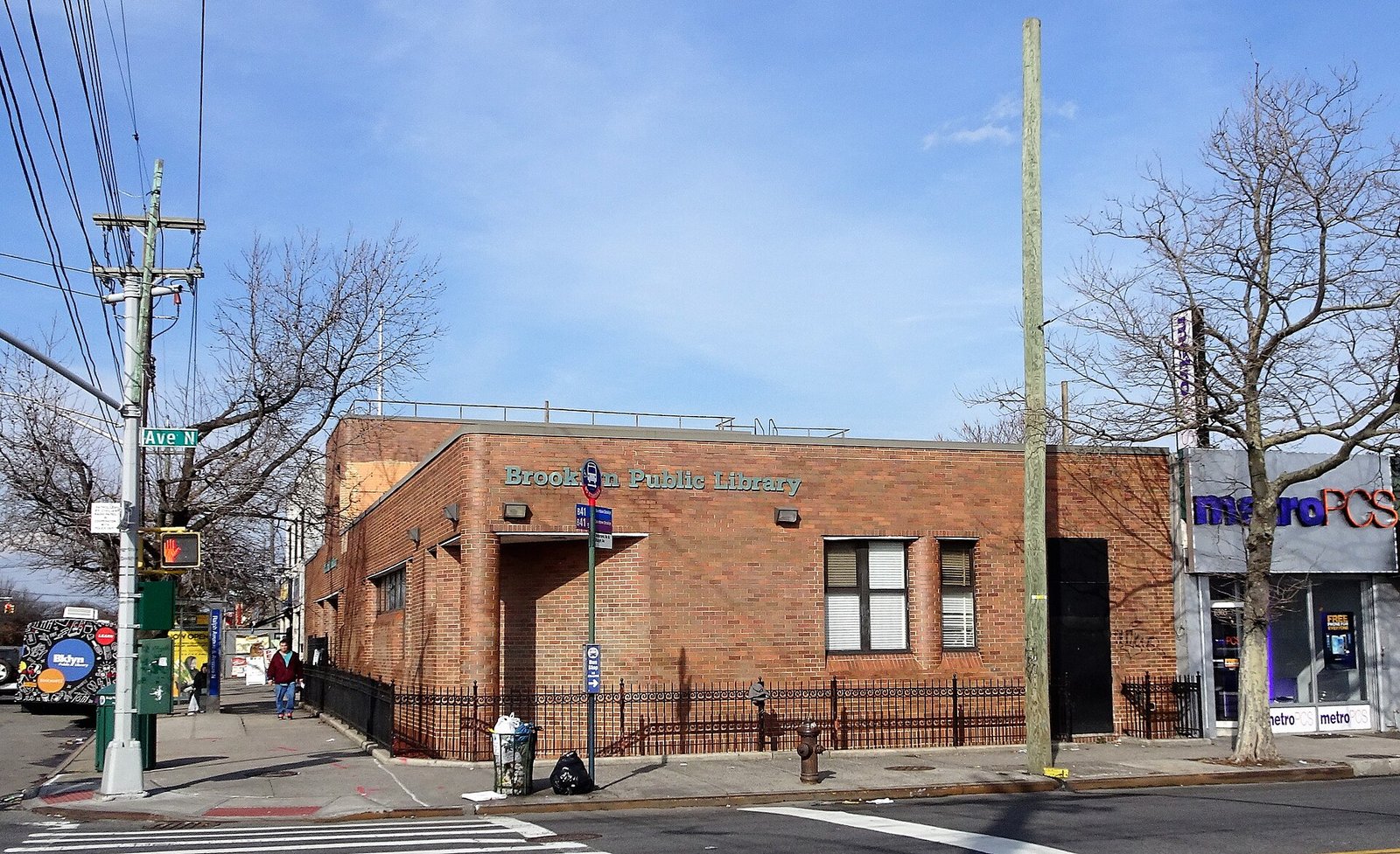
Jim.henderson · CC BY 4.0 · Resized.

Sources and visitor information
- Bergen Beach/GeorgetowneBrooklyn Community Board 18
- Bergen Beach Playground reconstructionNYC City Record
- Paerdegat BasinNYC Department of Environmental Protection
- Annual Report on Park Maintenance FY24NYC Parks