
Brooklyn · Neighborhood guide
Carroll Gardens
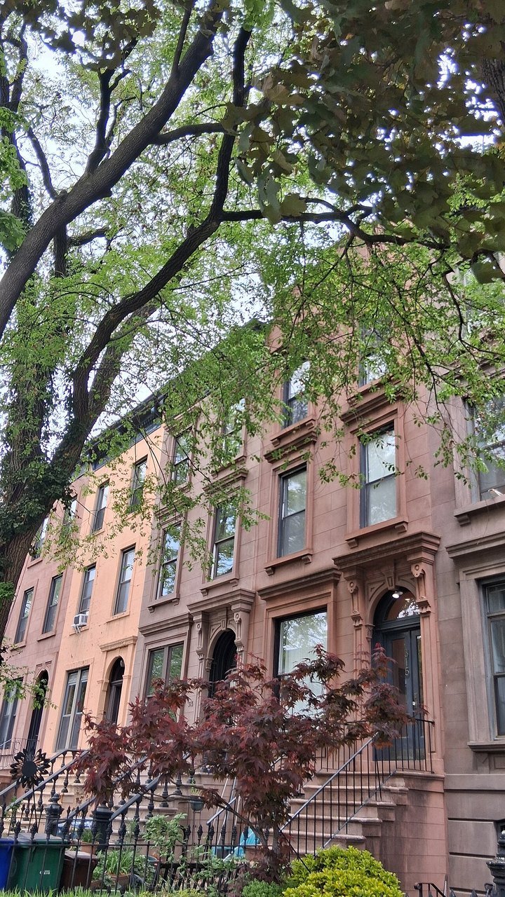
Deep front gardens set many Carroll Gardens row houses back from the sidewalk. Around Carroll Park, nineteenth-century residential blocks meet the shops and mixed-use buildings of Smith and Court streets. The small historic district on President and Carroll streets offers a close look at that pattern.

Kidfly182 · CC BY 4.0 · Resized.
About Carroll Gardens
South Brooklyn’s waterfront commerce and ferry connections helped shape the neighborhood. The Hamilton Avenue Ferry began service in 1846, linking the area with Manhattan. Development around the future historic district gathered pace in the late 1860s and 1870s, as nearby marshland was drained and housing spread east of Smith Street.
The gardens reflect an unusual street plan. Surveyor Richard Butts’s 1846 layout provided deep blocks and front yards; the pattern carried onto President and Carroll streets. The landmark district, designated in 1973, protects a much smaller area than the neighborhood shown on this guide’s map.
Places to explore
Carroll Gardens historic streets
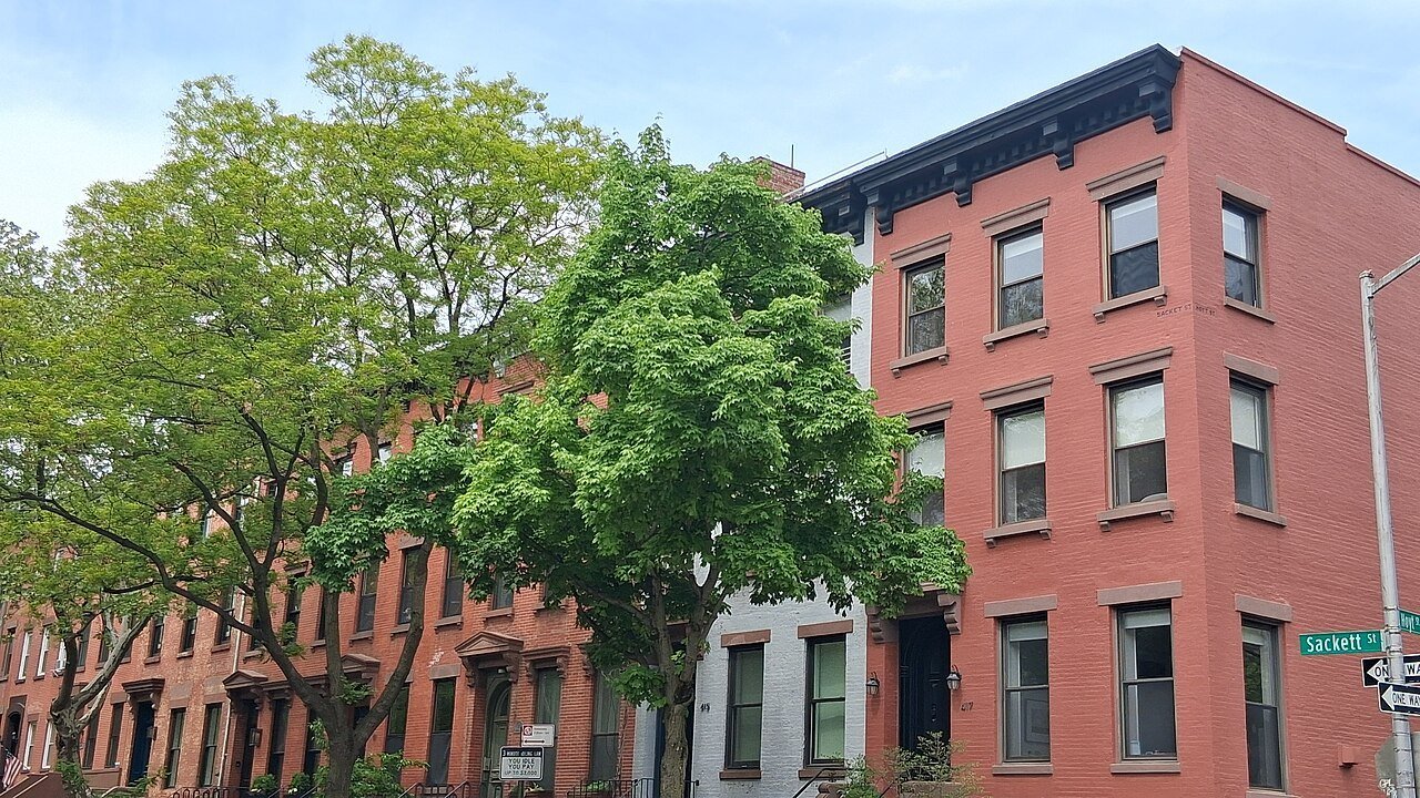
President and Carroll streets between Smith and HoytRows of brownstone-fronted houses, raised stoops and deep planted yards give these blocks their rhythm. Compare the repeated cornices and window details from the sidewalk. These are occupied homes; treat the gardens and steps as private space.
Carroll Park
Court and Smith streets, between Carroll and PresidentThe park occupies a full block beside the historic streets. It began as a private garden in the nineteenth century. Its position helps explain why the neighboring houses were planned around open space as well as the street grid.
First through Fourth places
Between Court and Henry streetsThese short residential streets are another part of the deep-yard plan. The setback is as much a feature to notice as the house fronts: buildings sit behind a band of gardens rather than directly against the sidewalk. View them from the public street.
Planning a visit
The F and G stop at Carroll St, with entrances at President and Smith streets and at Second and Smith streets. Check MTA service notices before setting out; published line maps describe the usual weekday pattern. Smith and Court streets are the neighborhood’s main retail corridors.
Use Carroll Park as a separate stop, then choose the residential blocks you want to see. The historic district designation describes buildings and their setting; it does not provide visitor access to the houses. Keep your visit to public streets and park space.
Photos


Sources and visitor information
- Carroll Gardens Historic District designation reportNYC Landmarks Preservation Commission
- Carroll Gardens / Columbia Street rezoningNYC Department of City Planning
- Carroll Park: collections and neighborhood historyBrooklyn Public Library / Center for Brooklyn History
- F train line map and station entrancesMetropolitan Transportation Authority
- G train line map and station entrancesMetropolitan Transportation Authority
- 2020 Neighborhood Tabulation Areas, version 26BNYC Department of City Planning / NYC Open Data
- Gowanus Neighborhood Plan environmental review noticeNYC Department of City Planning / City Record