
Manhattan · Historic destination
The High Line
Elevated route from Gansevoort Street to West 34th Street, with access points along the way · Manhattan, New York City
A former freight railway has become one continuous public route for gardens, art and views of the West Side.
Save and Boost open this place in the interactive map. An account is needed to save; Boost opens its options before payment.

NYFE Summary
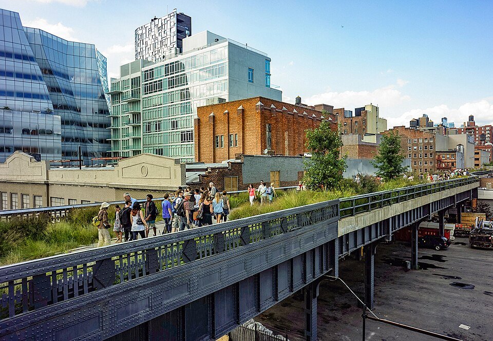
Freight trains once used this elevated railway to carry meat, dairy products and other goods directly into factories and warehouses. Trucking reduced its use, and trains stopped running by the 1980s. Plants spread across the abandoned tracks.
A community campaign preserved the structure, and the first park section opened in 2009. Today the route combines planting beds, traces of the railway, seating and public art. Its elevated path offers changing views of the surrounding streets and buildings.
NYFE summary from the official history and visitor sources linked below.
Plan a visit
Check the operator’s current opening, admission and access information before travelling. Historic status does not guarantee public access to every interior.
Official visitor information ↗